Every project below reflects real service categories we deliver — engineering design,
LiDAR & drone surveys, GIS mapping, and remote sensing. Click a project to see more detail.
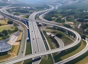
Highway Development ProjectEngineering & DPR
Highway Development Project
CategoryEngineering & DPR
Client TypeState PWD Division
LocationUttarakhand
Full DPR preparation for a two-lane highway stretch — alignment design, cross-sections, drainage planning, and cost estimation delivered on a fixed timeline for tender submission.
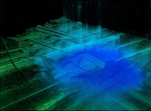
LiDAR Point Cloud & DTMLiDAR Survey
LiDAR Point Cloud & DTM
CategoryLiDAR Survey
Client TypeInfrastructure Developer
LocationDehradun, Uttarakhand
Mobile LiDAR data capture and processing to generate a classified point cloud and Digital Terrain Model (DTM) used for corridor design and utility clash detection.
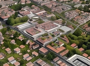
Urban GIS MappingGIS & Mapping
Urban GIS Mapping
CategoryGIS & Mapping
Client TypeUrban Local Body
LocationUttarakhand
City-wide GIS base map creation covering roads, utilities, and land parcels — delivered as a Web GIS dashboard for the client's planning team.
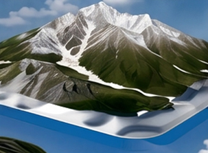
3D Terrain ModelingLiDAR & Photogrammetry
3D Terrain Modeling
CategoryLiDAR & Photogrammetry
Client TypeHighways Contractor
LocationPan India
Drone photogrammetry combined with terrestrial LiDAR to build an accurate 3D terrain model for earthwork volume calculation and progress monitoring.
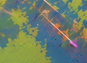
Land Use / Land Cover MappingRemote Sensing
Land Use / Land Cover Mapping
CategoryRemote Sensing
Client TypeEnvironmental Consultant
LocationUttarakhand
Satellite image classification and change-detection analysis to track land use / land cover change over a 10-year period for an environmental impact assessment.